

Creating a 3Beam Data File
Suggestion: right click on the Windows menu bar and activate then shrink the Task Manger dialog box (now the icon should be on your menu tool bar).
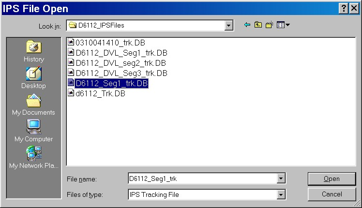
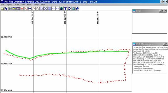
1. Load a merged or DVL navigation data file using the File->Open command.
2. Click on the focus button to select the DVL target. DVL Targets are typically ID 1 (fish shape) or 9 (Sub shape).

Focus Button ______/\
3. Click on the sub icon and select an appropriate target (e.g. target ID 1, Fish) set point color to a highly visible color like a light green and the track size to 2500 with a skip point of 1.
4. Enter search mode IPS Menu bar View -> Display Search Mode
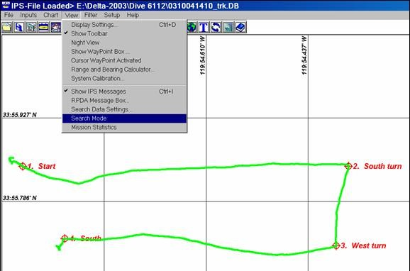
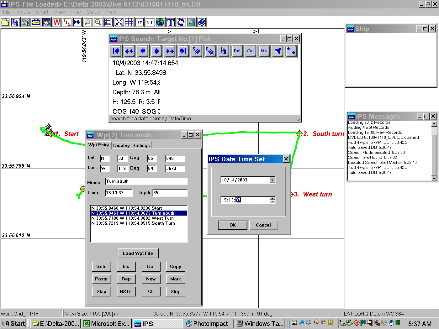
5. Move cursor over any fish data point and click on it. The search dialog box will pop up.
6. Use Search dialog box tool bar icons to move to a start of a transect and click the start icon.
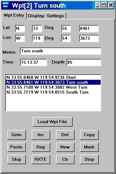
7. Then move to the end of the transect and click on the End icon. If IPS waypoints were taken during a dive or the Start/End times are known the IPS Waypoint dialog box may be used to determine the time of a given waypoint. The time can then be used to jump to a given location:
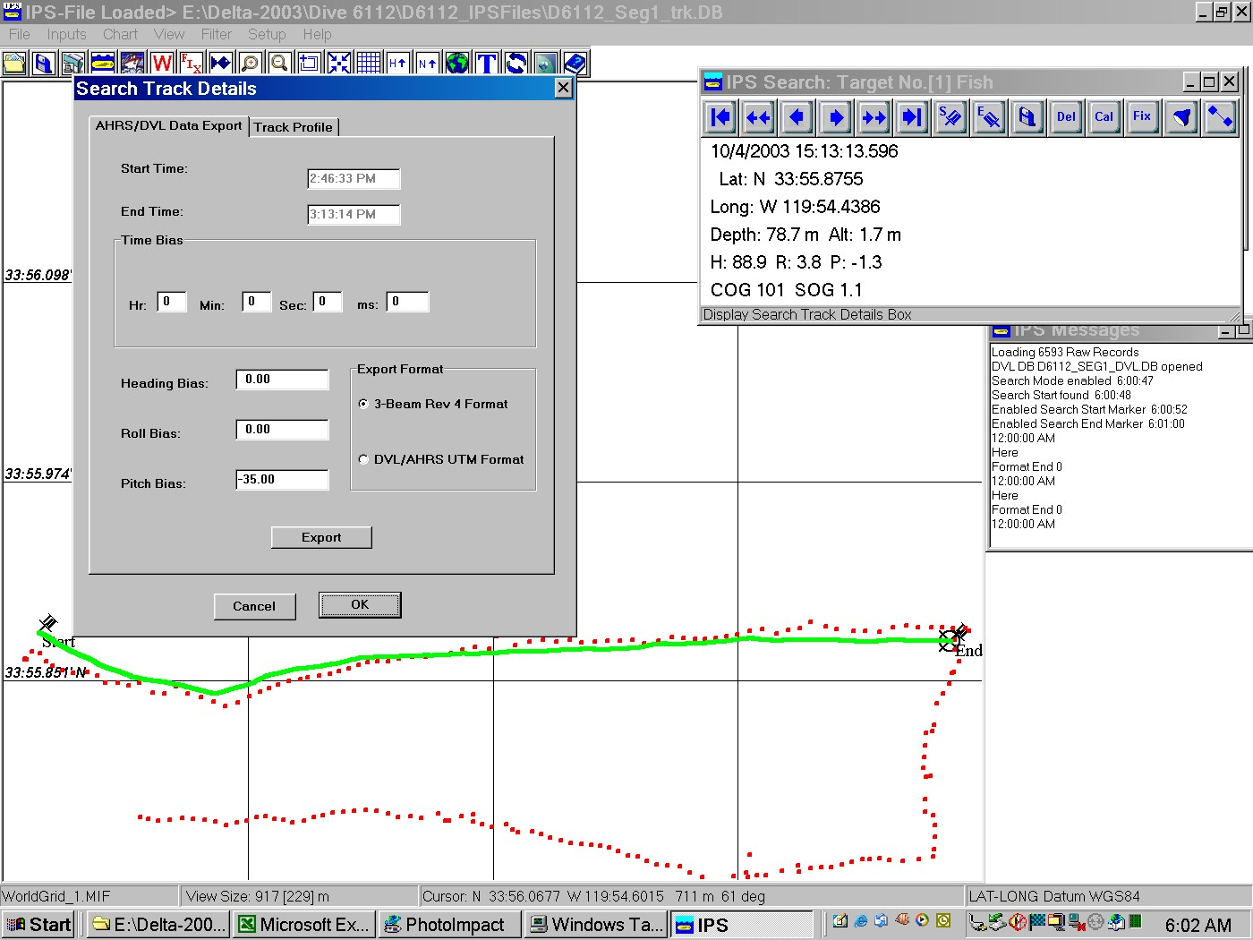
8. Click the track icon. 
9. Add the 3Beam pitch (mounting) bias (e.g. -35.00 deg., Down is negative).
10. Click Export. It takes approximately 3.5 min to complete a 500 meter transect on a 800 MHz PC. The progress of the process may be monitored in the IPS Message box. Two 3beam data files are created. (E.g “0310030812.txt” and (0310030812_Stat.txt).
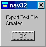
11. When the process is completed the following message box will pop up.
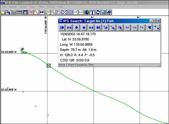
12. To view the quality of the IPS Path fit to the actual data zoom in. A thin black line representing the statically best fit path is shown.
13. The 3beam file *_Stat.txt contains the following processing data:
a) Start Time End Time nr Lat r Long r DMean DStdDev nD
b) 8:12:22.439 8:14:11.305 425 0.7929 0.9981 0.1951 0.107699 421
c) The nr is the number of data points used for the curve fit, where the nD is the number of data points used to calculate the mean and StdDev for the individual distances from each data point to the predicted data point.
14. The 3-Beam data format (rev 4) is:
3-Beam file format to support Doppler Velocity Log (DVL) Navigation and Attitude Heading Reference System (AHRS) data.
|
Time
MMDDYYHHmmsszzz
|
Roll
[deg]
+ Port side up
|
Pitch
[deg]
+ Bow up
|
True
Heading
[deg]
0-359.99
|
Alt
[m]
|
DVL
North Vel [m/s]
+ North
NEU
|
DVL
East Vel
[m/s]
+East
NEU
|
DVL
Distance along
Mean path
[m]
|
Depth
[m]
|
X
Long [deg]
(WGS-84)
|
Y
Lat [deg]
(WGS-84)
|
|
022802130443281
|
R -0.68
|
P 38.20
|
H 358.48
|
A 1.25
|
N 0.124
|
E .025
|
M 229.512
|
D 60.02
|
X -119.61276953
|
Y 33.97318973
|
Notes:
1. time format zzz is ms not hsec.
2. DVL X & Y velocities have been corrected for roll and pitch and are with respect to North.
3. Each data string is followed by a <cr><lf>.